Remote Sensing Laboratory
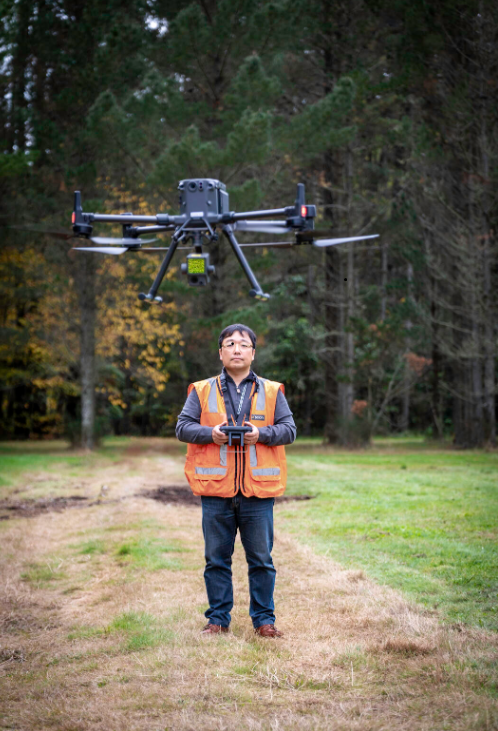
Laboratory with UAV equipment, met sensors, cameras, LiDAR sensors, used in the field and on-site to develop new protocols and autonomous systems, such as robotics, IoT networks and drones, for operating in forestry and other challenging environments.
Infrastructure Name
Remote Sensing Laboratory
Public Summary
Laboratory with UAV equipment, met sensors, cameras, LiDAR sensors, used in the field and on-site to develop new protocols and autonomous systems, such as robotics, IoT networks and drones, for operating in forestry and other challenging environments.
Standards
102 CAA accredited
Location / Region
Bay of Plenty
Location Type
Land based
Operation Type
Mobile location
Access Requirements
Commercial Access: This item is accessible as a service
Access Description
Accessible as a service.
ANZSRC Fields of Research Codes
60%
Forestry sciences
(3007)
20%
Electronics, sensors and digital hardware
(4009)
20%
Geomatic engineering
(4013)